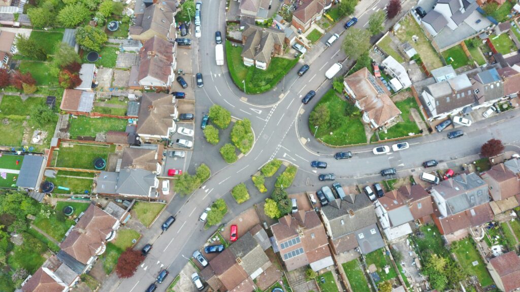


NEW BERN, N.C.—Last Friday, Judge Louise W. Flanagan of the U.S. District Court for the Eastern District of North Carolina upheld a North Carolina restriction on who can create aerial maps against a First Amendment challenge brought by a Goldsboro, N.C., drone operator and the Institute for Justice (IJ).
For years, the state’s land-surveying board has targeted small-time drone operators, claiming their maps and models amount to illegal “surveying.” In its decision on Friday, the court approved the board’s position. The court acknowledged that “the use of drones to capture images for the purpose of conveying ‘orthomosaic’ or ‘measurable’ information is protected expression.” Even so, the court ruled that North Carolina can punish drone operators if they create and share even basic information about land without first getting a land-surveyor license.
Continue Reading Here, https://ij.org/press-release/north-carolina-drone-operator-to-appeal-in-first-amendment-lawsuit/
It goes without saying, that this could bleed over into other states, just like the ban on DJI Drones. We must figure out a way to fight this.